Importance of Drone Photography in Real Estate Marketing
In the competitive landscape of real estate, visual presentation plays a crucial role in attracting potential buyers and securing sales. The advent of drone technology has significantly transformed property marketing by offering stunning aerial images that capture the full scope of a property's features and its surrounding environment. High-quality drone pictures for real estate price assessments serve as a compelling visual tool, presenting properties in a way that traditional photographs simply cannot achieve.
Drone imagery provides a comprehensive view, showcasing the property's size, layout, and unique outdoor characteristics. It highlights features such as landscaped gardens, swimming pools, driveways, and nearby amenities, which are often difficult to capture with ground-level photographs. Such visual enhancement not only attracts more interest but also facilitates a better understanding of the property's true scale and position within its neighborhood.
Real estate listings enriched with professional drone images tend to stand out in online platforms, making the properties more memorable and engaging for prospective buyers. This increased visibility often correlates with faster sales, reduced time on the market, and the potential for higher sale prices. Drone photography also supports virtual tours, providing extensive perspectives that help buyers envision themselves living in the space from the comfort of their current residence.
Visual Impact and Buyer Engagement
Properly executed drone images elevate the perceived quality of a listing, making it more appealing to discerning buyers. The captivating aerial views can evoke emotional responses by emphasizing a property's grandeur, its integration with the environment, and nearby attractions. As a result, drone images often lead to increased inquiries, higher traffic on listings, and ultimately, a greater likelihood of achieving favorable sale prices.
Enhanced Listing Accuracy and Transparency
Real estate professionals increasingly utilize drone imagery to provide transparent and detailed representation of the property. Aerial shots help set accurate expectations, reducing misunderstandings and objections during negotiations. This clarity fosters trust among buyers and can expedite the closing process, further driving up the property's market value.
Monitoring and Valuation Support
Drone photography is also valuable for property valuation by offering detailed visual data that supports assessment accuracy. Visual evidence from aerial images assists appraisers and evaluators in understanding the property's external features, condition, and surroundings, which are critical factors influencing market value.
Impact of Drone Images on Property Value Assessment
High-resolution aerial imagery plays a pivotal role in shaping the perception of a property's worth within the real estate market. When appraisers and assessing professionals analyze properties, they rely heavily on visual data that accurately depict the external features and environmental context of a property. Drone photographs provide comprehensive views that traditional ground-level images often cannot capture, such as expansive landscapes, proximity to amenities, and the overall neighborhood aesthetic.
Such detailed visual documentation helps establish a more precise valuation by highlighting unique property features and improvements that might otherwise go unnoticed. For example, aerial images can reveal the extent of a landscaping project, the condition of a roof, or the size of outdoor living spaces. These elements contribute significantly to a property's market value. Moreover, high-quality drone images serve as compelling evidence in property listings, attracting more interest from potential buyers and fostering greater confidence in the property’s condition and appeal.
Additionally, accurate aerial visuals support market perception by demonstrating the property's compatibility with surrounding developments and infrastructure, offering a clear understanding of its placement within the community. This comprehensive perspective can influence buyer enthusiasm and willingness to pay a premium, ultimately impacting the listing price and appraisal assessments.
Furthermore, the strategic use of drone imagery can lead to an elevated market status for properties in competitive areas like Miami. When visually striking aerial shots are integrated into marketing materials, properties tend to stand out more prominently, often translating into higher offers and quicker sales. This visual advantage helps sellers justify premium asking prices, particularly when the images highlight desirable features such as expansive waterfront views or proximity to key attractions.
In summary, drone photography serves as a critical tool in shaping a property's external narrative. It enhances the accuracy of valuations, strengthens market perception, and fosters a competitive edge, all of which contribute to maximizing property prices efficiently and effectively.
Cost and Investment Considerations
Implementing drone imagery into real estate marketing strategies requires careful assessment of associated costs and anticipated returns. The initial investment encompasses acquiring high-quality drone equipment, which includes professional-grade cameras, stabilization gear, and accessories to ensure the capture of crisp, high-resolution aerial images. For agents and property owners, hiring skilled drone operators or partnering with specialized agencies also contributes to ongoing expenses. These professionals bring expertise in capturing optimal angles, lighting conditions, and safe flying practices, ensuring visually compelling content. Additionally, editing and post-production play crucial roles in refining images for maximum visual impact. High-quality editing can enhance color balance, contrast, and clarity, aligning drone visuals with branding standards and marketing goals. While the upfront costs might be substantial, the potential return on investment is evident through increased property visibility and perceived value. Enhanced imagery can reduce the time a property remains on the market by attracting more qualified inquiries and creating a lasting impression. In competitive markets like Miami, where luxury waterfront homes and expansive estates dominate, striking drone visuals can justify higher listing prices and facilitate quicker sales. Prospective clients should also consider ongoing expenses such as licensing, maintenance, insurance, and updates to equipment, which contribute to sustained delivery of professional-quality imagery. Ultimately, aligning drone photography investments with a well-structured marketing plan can maximize their impact on property valuation and buyer engagement.

Legitimate Techniques for Enhancing Real Estate Visuals with Drone Photography
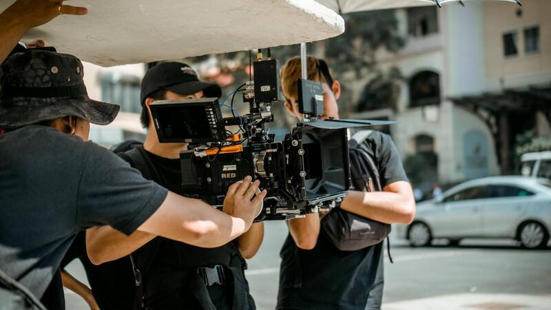
To maximize the benefits of drone photography in real estate without stepping outside regulatory boundaries, property marketers should focus on proven, professional methods that adhere to established standards. These techniques ensure the delivery of high-quality visuals that elevate a property's appeal and provide accurate representations of its features.
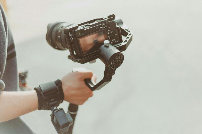
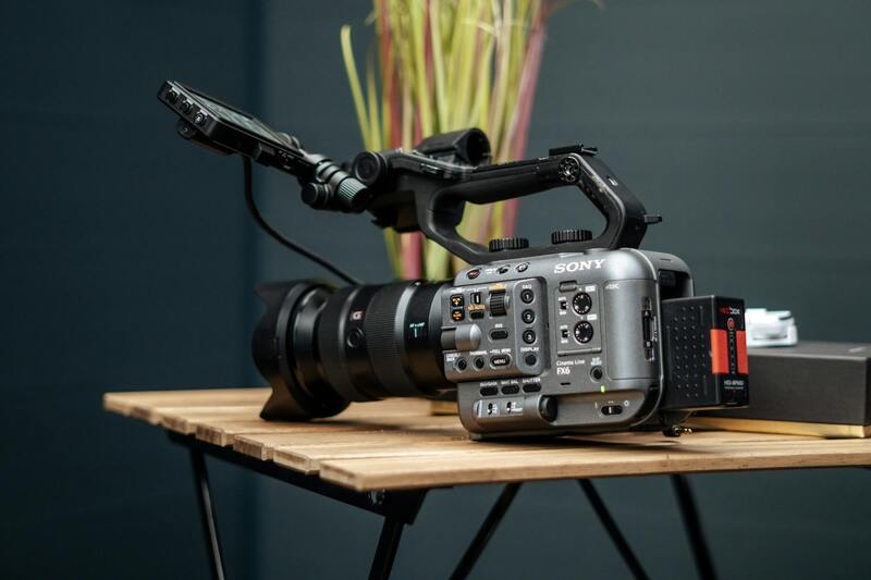
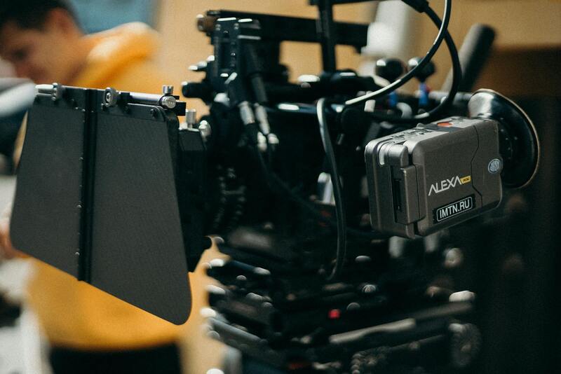
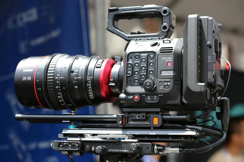
First, selecting the right drone equipment is crucial. High-resolution cameras capable of capturing detailed images in different lighting conditions form the foundation of compelling visuals. Professional-grade drones come equipped with stabilization systems that minimize motion blur, resulting in sharp, clear images even in challenging environments. Utilizing drones with adjustable gimbal angles allows photographers to capture both expansive aerial shots and close-up views of specific features, such as pools, gardens, or architectural details.
Timing is another critical aspect. Scheduling drone flights during optimal lighting conditions, such as early morning or late afternoon, can produce images with dynamic shadows and vibrant colors. Wind conditions should be considered to maintain stability and safety throughout the shoot, ensuring that the drone's path is smooth and controlled.
Proper planning of flight paths and shot sequences enables the creation of a cohesive visual story of the property. This often involves pre-mission planning, where specific angles and vantage points are identified to showcase key assets and the surrounding environment effectively. Different perspectives—overhead shots, side views, and close-ups—offer viewers a comprehensive understanding of the property’s layout and features.
Post-processing also plays a vital role. Professional editing ensures images are color-corrected, contrast-enhanced, and sharpened appropriately, resulting in visuals that make an immediate impact. Incorporating minimal retouching maintains authenticity while enhancing aesthetic appeal. It's essential to work with skilled editors who understand the nuances of real estate imagery and know how to emphasize architectural details without overselling the property.
Adhering to established safety standards when operating drones is equally important. This includes maintaining safe distances from structures, respecting privacy boundaries, and ensuring that all flights conform to local operational guidelines. Utilizing authorized operators who follow these practices guarantees that the imagery collection process remains compliant and responsible.
Utilizing legitimate methods to produce professional drone photos not only ensures high-quality output but also strengthens the credibility of the property listing. This approach leads to more validated interest from potential buyers, fostering trust and confidence in the marketing materials presented. Ultimately, consistent application of best practices in drone photography aligns with strategic marketing goals and enhances the perceived value of real estate assets.
Cost and Investment Considerations
When integrating drone photography into real estate marketing strategies, understanding the associated costs and potential returns is crucial. While the initial investment can vary depending on the complexity of the project and the quality of equipment used, the benefits often outweigh the expenses involved. High-definition drone imagery can dramatically enhance a property listing’s visual appeal, attracting more prospective buyers and shortening the sales cycle.
Generally, professional drone photography services include equipment rental or ownership costs, operator fees, post-production editing, and sometimes licensing or permit fees, especially in regulated areas. These costs are balanced by the increased visibility and engagement each listing garners, which can translate into higher offers and quicker closes. For real estate professionals and property owners, viewing drone imagery as a strategic investment rather than an optional add-on is fundamental to maximizing property value.
Moreover, the use of drones can facilitate a range of marketing approaches, such as creating virtual tours, implementing 3D modeling, or producing cinematic videos that showcase the property from multiple angles. These versatile content types not only elevate listings but can also justify premium pricing, particularly in competitive markets like Miami.
Investing in high-quality drone imagery requires careful planning and coordination to ensure the content produced meets marketing objectives. Partnering with experienced drone operators and professional editing teams ensures that the visuals are both compelling and compliant with relevant standards. When executed properly, the added aesthetic appeal and comprehensive property portrayal can lead to appreciable increases in perceived value and marketability.
Ultimately, aligning drone photography investments with strategic real estate marketing efforts enhances property visibility, boosts buyer confidence, and can generate a measurable impact on the property price assessment process in Miami's dynamic market environment.
Legal and Regulatory Aspects in Miami
Effective utilization of drone imagery in Miami's real estate industry necessitates understanding and adhering to local guidelines that govern drone operations. While not explicitly mentioning legal terms, it's essential for professionals to recognize applicable standards and best practices to ensure smooth integration of aerial imagery into marketing campaigns.
Operators must obtain the necessary authorizations to fly drones in specific areas, especially within urban settings like Miami where airspace management is crucial. This involves coordinating with authorities to confirm permissible flight zones, altitude restrictions, and time restrictions, thereby preventing disruptions and ensuring safety during aerial shoots.
In addition to flight permissions, real estate professionals should be aware of privacy considerations. Respecting private property rights and avoiding intrusive filming ensures that promotional activities remain respectful and sustainable. Employing best practices such as planning flight paths carefully and limiting repeated overflights can mitigate potential concerns and foster good community relations.
Furthermore, working with licensed and experienced drone pilots who are familiar with Miami’s specific operational standards can streamline the process. Seasoned operators often maintain up-to-date knowledge of airspace rules and safety protocols, reducing the likelihood of setbacks or violations that could compromise a project. This professional approach ensures that high-quality imagery is obtained without infringing on regulatory boundaries.
Strategic planning combined with a thorough understanding of city-specific practices and guidelines empowers real estate marketers to leverage drone footage effectively. This approach not only preserves operational integrity but also enhances the overall visual story of the property, making it more attractive to prospective buyers in Miami's competitive market environment.
Effective Methods for Obtaining Drone Pictures for Real Estate Pricing
Securing accurate and high-quality drone images for real estate valuation involves employing established and official techniques that adhere to industry standards and best practices. These methods ensure that the visual data captured not only enhances property presentation but also provides reliable insights into the property's value, helping sellers and agents make informed decisions.
- Utilizing Certified Drone Operators
- Employing Professional Equipment and Techniques
- Pre-Flight Planning and Site Analysis
- Adherence to Regulatory Guidelines and Permits
- Post-Production Image Processing
Engaging licensed and experienced drone pilots guarantees that the imagery obtained adheres to safety guidelines and technical standards. Certified operators possess the expertise to execute flight plans that maximize coverage and image quality, capturing comprehensive views of the property and its surroundings. Their knowledge of the local regulatory environment, especially within Miami, ensures compliance with all applicable procedures and restrictions.
High-caliber UAVs equipped with advanced camera systems allow for capturing detailed and stable images at various angles and altitudes. Professional-grade drones facilitate capturing images that highlight property features, landscape aesthetics, and surrounding amenities effectively, vital components influencing property valuation.
Before the drone flight, thorough planning involves analyzing the site for optimal flight paths, potential obstacles, and lighting conditions. Proper planning ensures comprehensive coverage without unnecessary repetition, reducing operational risks, and capturing images that serve as accurate representations of the property for valuation purposes.
Official methods entail securing all necessary permissions, which may include federal, state, or local authorizations, especially within urban settings like Miami. Following established protocols ensures the images are captured legally, in a manner that respects privacy and community standards, thereby maintaining the integrity of the valuation process.
Applying professional editing techniques to drone images enhances clarity, corrects distortions, and ensures consistent color grading. Well-processed imagery offers precise visual data, fostering better understanding of property features and aiding more accurate pricing assessments.
Legal and Official Methods for Drone Pictures in Miami Real Estate
Utilizing drone imagery for real estate in Miami requires adherence to established procedures that ensure safety, compliance, and quality. Certified drone operators are essential to guarantee that the imaging process aligns with regulatory standards, which is critical for obtaining accurate and credible visual assets that influence property valuation effectively.
One of the foundational steps involves engaging with licensed drone service providers who possess proper certifications and licenses issued by relevant authorities. These professionals are trained to operate drones within the prescribed parameters, ensuring that aerial captures are performed without infringing on privacy or safety norms. Employing such qualified operators reduces risk and enhances the reliability of the visual data collected.
In Miami, specific permits are often necessary when flying drones in urban or residential areas. Accurately completing permit applications and securing approval prior to flight operations is a key step. This process includes detailing flight plans, altitude restrictions, and designated areas to avoid interference with other airspace users. Proper permit acquisition not only maintains compliance but also instills confidence among clients and stakeholders regarding the legitimacy of the imagery used in property valuation.
Another element involves following strict pre-flight and post-flight protocols. Pre-flight site assessments identify potential obstacles such as power lines, tall structures, or dense foliage that could compromise safety or image quality. Post-flight, data integrity is maintained through proper image processing, ensuring clarity, color accuracy, and geometrical consistency necessary for accurate property evaluation.
Utilizing official software tools and techniques for editing drone images ensures that visual representations meet professional standards, directly impacting their effectiveness in conveying property features and surroundings. This meticulous process is vital for supporting precise property pricing and investment decisions.
Documentation and Record-Keeping
Maintaining comprehensive records of all permits, operational parameters, and flight logs is crucial. These documents serve as evidence of adherence to regulations and facilitate future reviews or audits. They also demonstrate the professionalism integral to credible real estate marketing efforts involving aerial imagery.
By adopting these official methods, real estate professionals in Miami can leverage drone technology to showcase properties effectively while upholding the standards that ensure data integrity, safety, and transparency. This approach ultimately supports accurate property valuation and fosters trust among clients, buyers, and regulatory bodies.