Overview of Drone Real Estate Footage
Drone real estate footage has revolutionized the way properties are showcased in today’s competitive market. By utilizing unmanned aerial vehicles, or drones, real estate professionals can capture visually striking images and videos from elevated perspectives, offering potential buyers a comprehensive view of the property and its surroundings. This method significantly enhances traditional listing techniques, providing immersive and dynamic visual content that stands out in a crowded marketplace.
The importance of high-quality drone footage lies in its ability to convey the full scope of a property—showing expansive land, architectural details, landscaping, and proximity to amenities in a manner that static images or ground-level videos cannot match. This form of visual storytelling helps prospective buyers imagine themselves within the space and fosters a deeper emotional connection to the property, often accelerating the decision-making process.

In the context of modern property marketing, drone footage has become an essential component. It allows real estate agents to produce comprehensive virtual tours that can be shared across various digital platforms, including website listings, social media, and online advertising. These high-quality visuals help to attract a broader audience, including remote buyers who rely heavily on online property showcases.
Moreover, drone real estate footage aids in highlighting unique features of a property, such as waterfront access, large acreage, scenic views, or proximity to neighborhood landmarks. An investment in professional aerial videography often translates into increased listing visibility and potentially faster sales at favorable prices. As technology advances and drone equipment becomes more accessible, its adoption continues to grow among real estate marketers seeking to elevate their property presentation strategies.
In summary, drone real estate footage is a transformative tool in property marketing. Its ability to deliver striking, comprehensive views enriches listing content, captures the attention of prospective buyers, and fosters greater engagement. When executed with expertise and proper equipment, drone footage offers a compelling visual narrative that can set property listings apart in the competitive real estate landscape.
Legal and Regulatory Considerations in Miami
When incorporating drone footage into real estate marketing, adhering to official procedures is crucial to ensure smooth and compliant operations. In Miami, operators must familiarize themselves with specific procedural requirements mandated by local authorities and federal agencies overseeing drone activities.
Official operations begin with the registration of the drone with the appropriate federal agency, which requires submitting details about the drone, including its make, model, and intended use. This registration ensures accountability and helps establish a clear operational framework for commercial drone activities within the region.
Beyond registration, operators need to obtain necessary authorizations for each flight. This includes completing a comprehensive safety assessment and planning flight paths that avoid restricted areas. In Miami, certain zones—particularly near airports, government facilities, and private properties—are subject to restrictions that must be respected through official notices and no-fly zones.
Secure operational permits are typically issued following a detailed review process that confirms adherence to safety protocols. These permits outline the permitted flight altitudes, times, and operational hours. It is essential for operators to maintain updated records of all permits and documentation related to drone flights.
Operators must also conduct pre-flight risk assessments to evaluate environmental conditions and potential obstacles, minimizing risks to property and people. Real estate professionals often collaborate closely with licensed drone service providers who are well-versed in executing compliant drone footage shoots.
Engaging in continuous education about evolving regulations and maintaining communications with local authorities fosters responsible operation. It helps avoid inadvertent violations, ensuring that drone real estate footage production aligns with official guidelines perfectly.
Effective Techniques for Capturing Drone Real Estate Footage
Obtaining high-quality drone footage for real estate marketing hinges on employing specific techniques that maximize visual impact while maintaining compliance with all operational standards. Precise planning of flight paths is crucial to ensure comprehensive coverage of the property and surrounding neighborhood, capturing both the exterior and notable features that appeal to prospective buyers.
For creating compelling visuals, it's essential to utilize cinematic camera movements such as smooth pans, tilts, and orbit shots. These techniques highlight the property's architecture, landscaping, and proximity to local amenities. Employing varying altitudes can yield dynamic perspectives; for example, lower shots emphasize architectural details, while elevated overhead views showcase property size and context within the neighborhood.
Optimal lighting conditions are paramount. Scheduling flights during golden hour—the period shortly after sunrise or before sunset—provides warm, even lighting that enhances the property's appearance. Overcast days can also produce diffuse light, reducing harsh shadows and delivering even exposure.
Maintaining safe distances from structures, power lines, and other obstacles is critical for both safety and image quality. Pre-flight site inspections help identify potential hazards and plan safe flight routes, ensuring all operations adhere to official guidelines.
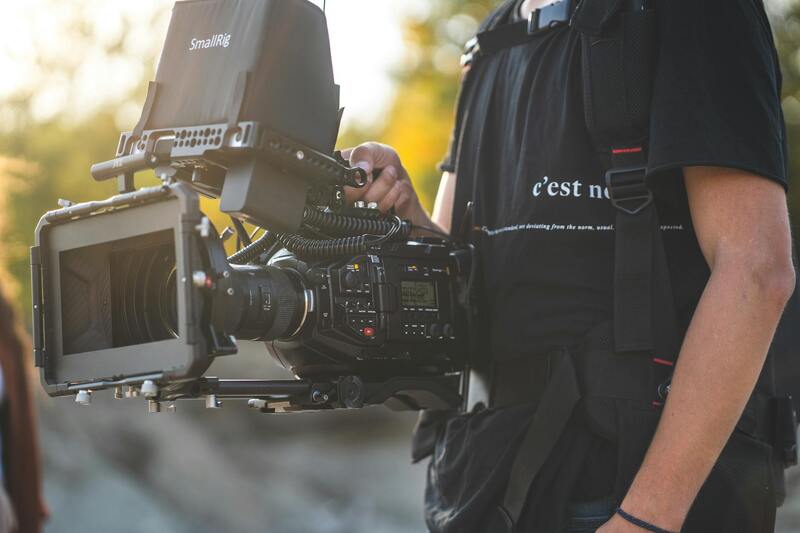
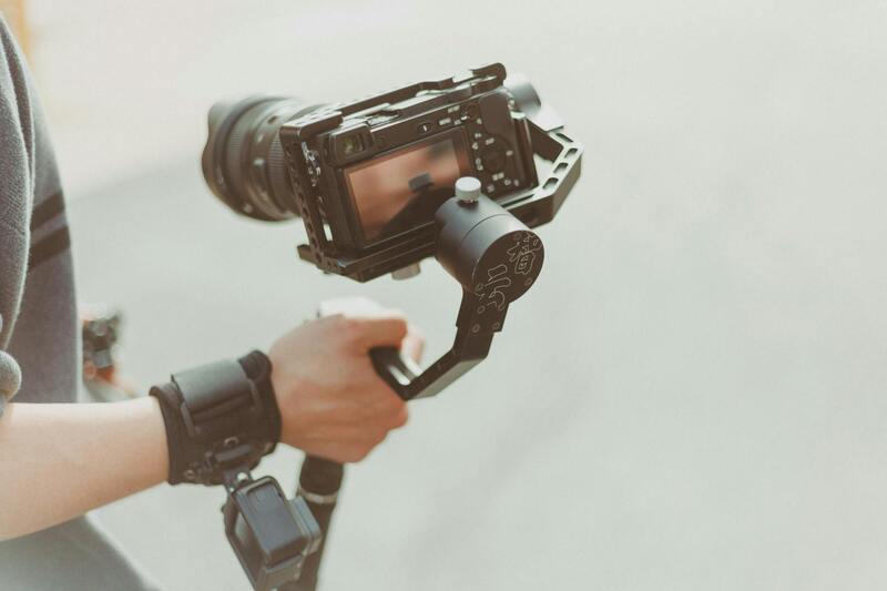
Additionally, utilizing high-resolution cameras with stabilization features results in crisp, professional footage free of shakiness. Modern drones equipped with advanced gimbal stabilization allow for steady shots even during complex maneuvers.
Incorporating aerial shots with ground-level walkthroughs can create a comprehensive virtual tour experience, fostering greater engagement from prospective buyers. Using drones to capture contextual shots of the property within its environment offers invaluable insights that elevate marketing efforts.
Importance of Compliance with Official and Authorized Methods
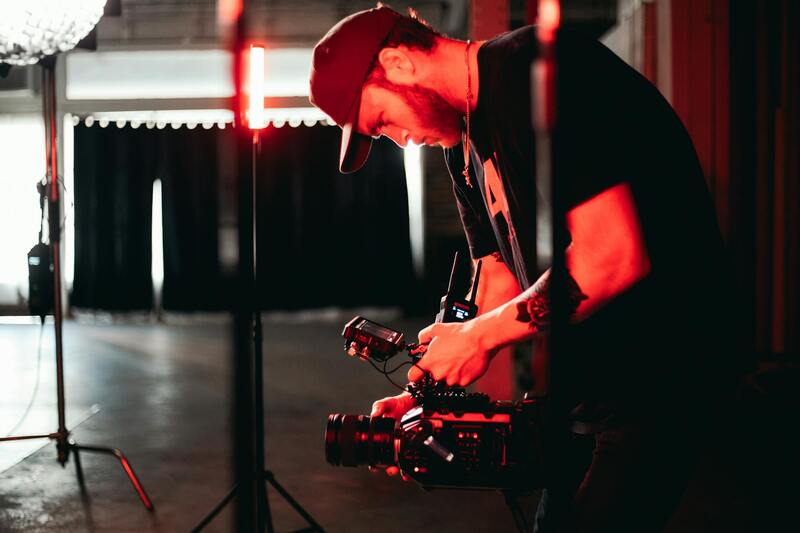
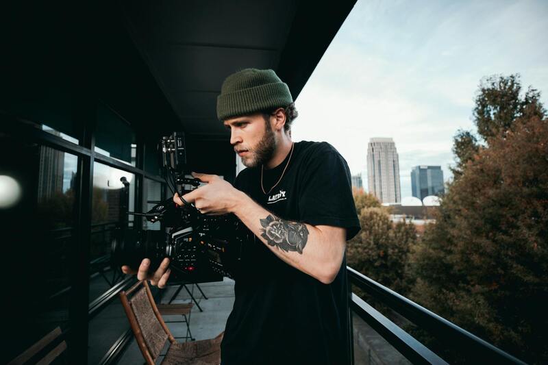
Ensuring that drone footage for real estate is captured through official and authorized channels plays a pivotal role in maintaining a professional and trustworthy image. When employing certified pilots and up-to-date operational procedures, real estate agents and developers demonstrate their commitment to high standards and operational safety. This approach not only guarantees exceptional quality but also aligns with best practices endorsed by industry authorities.
Utilizing licensed drone operators who are trained and accredited ensures adherence to established flight practices, emphasizing safety and professionalism. These experts employ rigorous planning, including comprehensive pre-flight inspections, risk assessments, and adherence to designated airspace corridors, which minimizes errors or disruptions during shoots.

Official Equipment and Technology Standards
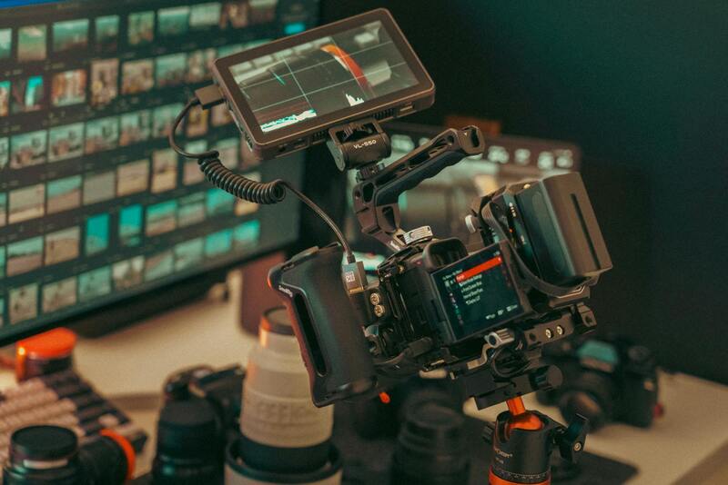
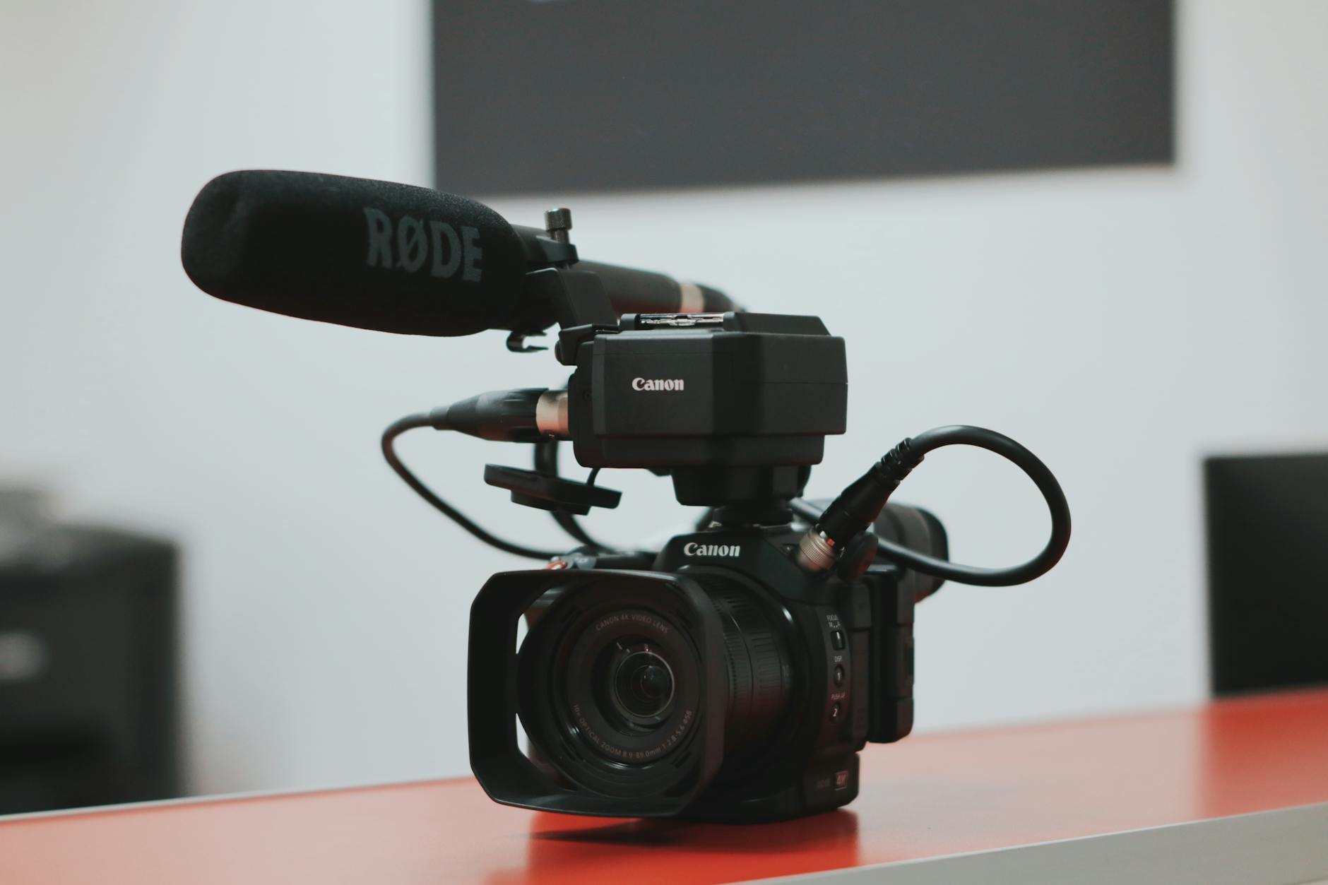
Employing the latest approved drone technology equipped with advanced cameras and stabilization systems ensures the production of sharp, visually appealing footage. Specifications such as high-resolution sensors, gimbal stabilization, and obstacle avoidance are critical components that make aircraft operation efficient and footage visually compelling. Licensed operators prefer drone models that meet or exceed industry standards, which guarantees consistent results.
Additionally, using certified software for flight planning and video editing further underscores a procedural commitment to quality and safety. Such software provides precise control over flight paths, camera angles, and post-processing workflows, aligning with accepted practices for legal and safe drone operation.
Adherence to Established Flight Protocols
Operational protocols established by industry organizations promote safety, repeatability, and quality. Following checklists before and after each flight, maintaining clear line-of-sight, and respecting height and distance limits enable seamless and compliant footage capture. These procedures help prevent incidents and ensure that the final content is both visually impressive and responsibly obtained.
Furthermore, planning flight routes with authorized mapping tools and obtaining necessary permissions for specific locations mitigate any potential interference or disruptions, ensuring the content reflects a professional standard.
Benefits of Using Official Methods for Real Estate Marketing
Engaging with professionally certified providers utilizing authorized procedures confers numerous advantages:
- High-quality footage devoid of technical flaws, enhancing property appeal and virtual engagement.
- Enhanced safety measures that uphold a secure environment during filming, safeguarding clients and staff.
- Consistent branding and image integrity, demonstrating a serious commitment to operational excellence.
- Compliance with industry standards that positively influence reputation and client trust.
- Ability to leverage versatile footage for various marketing channels, including online listings, social media, and virtual tours.
By prioritizing official methods and recognized practices, real estate professionals in Miami can elevate their marketing strategies with drone footage that is both captivating and credible, fostering increased engagement and facilitating faster transactions.
Types of Shots and Techniques for Real Estate Drones
To maximize the visual impact of drone real estate footage, professionals employ a variety of shot types and techniques, each tailored to highlight specific features of a property and its surroundings. These methods not only enhance the property's aesthetic appeal but also serve to convey its unique characteristics effectively to potential buyers or investors.
Among the most common shot types are wide-angle aerial views that showcase entire properties within their neighborhood context. These shots help prospective clients understand the property's scale, layout, and its relationship to nearby amenities or natural features. Panoramic shots are particularly effective during sunset or sunrise, capturing the property in optimal lighting and adding a cinematic quality to the footage.
Vertical or elevational shots are utilized to display key architectural details from above, such as rooftop features, landscaping, or pool installations. These perspectives can reveal previously unseen elements, offering clients a comprehensive view of the property's exterior design and layout.
Tracking shots, where the drone moves smoothly along a planned flight path, provide dynamic visuals that guide the viewer through the property. For instance, following a driveway from street level to the front entrance can create a sense of journey and discovery.
Advanced filming techniques include circular or orbit shots around the property, which provide a 360-degree view allowing viewers to examine the estate from every angle without moving the camera. This technique is particularly effective in emphasizing expansive properties or those with impressive architectural features.
Additionally, high-altitude flyovers can be used to emphasize the property's position within larger geographic areas, such as waterfronts, golf courses, or scenic districts. These shots serve to contextualize the property’s location advantageously, appealing to clients seeking specific lifestyle benefits.
Achieving these shot types and techniques relies on precise flight planning and adherence to official operational protocols, ensuring that the footage remains visually steady, professional, and compliant with any guidelines that govern aerial work in Miami.
Types of Shots and Techniques for Real Estate Drones
In the competitive Miami real estate market, utilizing a diverse range of drone shots can significantly elevate property presentations. Effective aerial cinematography hinges on selecting appropriate flight paths and camera angles that highlight a property's unique features, setting listings apart from traditional images.

Static and Dynamic Shots
Static shots, captured from fixed vantage points, provide clear, detailed views of the property's exterior, including architectural elements, landscaping, and outdoor amenities. Pairing these with dynamic shots — such as smooth tracking or orbit sequences — creates a compelling narrative of space and grandeur.
Tracking and Orbit Movements
Tracking shots, where the drone moves along a predetermined path, are ideal for guiding viewers along driveways, pathways, or to highlight key features like pools or gardens. Orbit shots, circling around the property at varying heights, offer a comprehensive perspective that emphasizes architectural symmetry and surrounding landscapes.
High-Altitude Flyovers
High-altitude flyovers serve to contextualize the property within its larger environment. For instance, showing proximity to water bodies, parks, or urban centers can be critical in appealing to prospective buyers interested in lifestyle benefits. These shots can also demonstrate neighborhood cohesion or proximity to key amenities.
Specialized Techniques
- Vertical Descent Shots: Useful for illustrating multi-story details or rooftop features.
- Circular Shots: Offering 360-degree views of the estate from a fixed point, ideal for highlighting architectural symmetry.
- Panoramic Views: Combining multiple shots for vast, sweeping vistas of the surrounding scenery.
Implementing these techniques effectively requires meticulous planning, including flight path analysis, permission management, and adherence to operational standards. Ensuring camera stability and smooth motion enhances the professional quality of the footage, making properties more attractive to potential buyers.
Types of Shots and Techniques for Real Estate Drones
Achieving compelling drone real estate footage requires a strategic combination of shot selection and technical execution. Here are some essential types of shots and techniques that elevate property presentations, showcasing both the structure and its surrounding environment with precision and artistry.
Dynamic Tracking and Orbit Movements
Tracking shots involve the drone moving along a designated path to follow a subject — typically the property itself or key features such as driveways, pathways, or backyard amenities. These shots create a smooth, guided visual narrative that emphasizes spatial relationships and property scale. Orbit shots, where the drone circles around the estate at various heights, provide a holistic view of the property’s architecture and landscape symmetry, offering prospective buyers a sense of depth and spatial orientation.
High-Altitude Flyovers for Contextual Perspectives
Flyovers conducted at higher altitudes serve to establish the property within its broader environment. These shots are instrumental in illustrating proximity to natural features, urban centers, parks, waterways, or major roads. Such imagery can emphasize the property’s integrated placement in its neighborhood, appealing to buyers interested in lifestyle compatibility and community layout.
Specialized Aerial Techniques
- Vertical Descent Shots: These are ideal for showcasing rooftop details or multi-story structures, providing a vertical perspective that enhances understanding of a building’s height and design intricacies.
- Circular Shots: By circling a fixed point, this technique offers a complete 360-degree view of the estate, emphasizing symmetry, driveway layout, and landscaping details.
- Panoramic Views: Combining multiple wide shots into panoramic sequences captures extensive vistas of the surrounding scenery — whether it’s a coastal backdrop, expansive gardens, or neighboring natural features.
Executing these techniques with finesse hinges on meticulous pre-flight planning, such as defining the flight paths, obtaining necessary permissions, and adhering to operational standards. The stability of the camera and the motion smoothness are crucial to producing professional-grade footage that significantly enhances property appeal and viewer engagement.
Final Tips for Efficient Drone Real Estate Footage Implementation
Maximizing the impact of drone footage in real estate requires a strategic approach rooted in proven methodologies and industry standards. Establishing a clear protocol for capturing, processing, and utilizing aerial videos ensures the visuals effectively showcase property features while adhering to technical requirements that maintain professional quality.
Standard Operating Procedures for Drone Operations
Developing comprehensive operational procedures is paramount for consistent results. This includes detailed pre-flight planning, such as mapping out the desired shot angles, identifying potential obstacles, and determining optimal flight paths. All equipment must be inspected regularly to ensure safe operation, and pilots should be trained in handling emergency situations. Establishing these guidelines minimizes errors and maintains high-quality standards.
Managing File Formats and Data Integrity
Choosing the appropriate video formats during recording and editing transitions is critical for preserving image quality. Professionals typically opt for uncompressed or high-bitrate formats to retain detail and color accuracy. Once footage is captured, proper data management ensures the files are securely stored and backed up, with clear naming conventions for efficient retrieval during editing. High-resolution raw files also allow extensive post-production adjustments without compromising quality.
Incorporating Drone Footage into Broader Marketing Campaigns
Effective integration of drone videos in marketing strategies involves tailoring content to specific audiences and channels. Embedding aerial footage into virtual tours, social media advertisements, and property websites enhances engagement and provides a comprehensive visual narrative. To maximize reach, consider optimizing the videos for various devices, ensuring fast load times without sacrificing clarity. Leveraging targeted advertising tools also allows real estate professionals to reach potential buyers more precisely.
Lastly, establishing ongoing review processes ensures that the drone footage remains aligned with evolving marketing goals and technological advancements. Regular updates, testing new shooting techniques, and analyzing viewer engagement metrics help refine the overall strategy for drone real estate marketing initiatives.