Benefits of Using Drone Photography for Houses
The adoption of drone photography has revolutionized the way residential properties are showcased and marketed. When it comes to capturing the essence and unique features of a house, aerial images provide a perspective that traditional ground-level photography simply cannot match. High-quality drone pictures of houses enable real estate professionals and homeowners to present properties in a captivating, detailed manner that highlights both the structure and its surroundings effectively.
One of the primary advantages of utilizing drone images is the ability to showcase expansive property lots and exterior features that are often difficult to capture from the ground. Photographs taken from above reveal the full scope of landscaped gardens, swimming pools, patios, and other outdoor amenities, giving potential buyers an immersive view of the property's outdoor environment. This comprehensive perspective can significantly enhance the property's appeal and attract more interest.
Another key benefit is the elevation advantage that drone photography provides. Elevated shots can capture the architecture and design elements of a house from angles that accentuate its best features. Such images can highlight symmetry, roof designs, and artistic details, all of which contribute to a stronger visual impression. For modern homes or properties with intricate layouts, aerial photos can convey scale and spatial relationships more effectively than conventional images.
Furthermore, drone pictures enhance marketing strategies by creating a competitive edge in real estate listings. Top-quality aerial imagery helps listings stand out on digital platforms, attracting more views and inquiries. Beyond sales, drone photography also plays a vital role in documenting a property's condition and development over time, which can be useful for estate management and insurance documentation.
Using drone photography elevates the overall presentation of residential properties, combining artistic composition with comprehensive coverage. When executed with professionalism, these images can increase the perceived value of a property, ultimately leading to quicker sales and more effective marketing campaigns. The ability to present a home from multiple dynamic angles not only benefits sellers but also improves the overall experience for prospective buyers, fostering a clearer understanding of what the property offers.
Choosing the Right Drone Equipment for House Photography
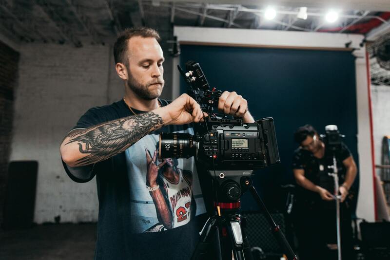
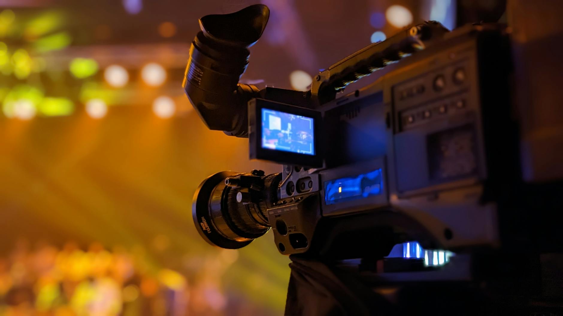
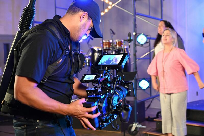
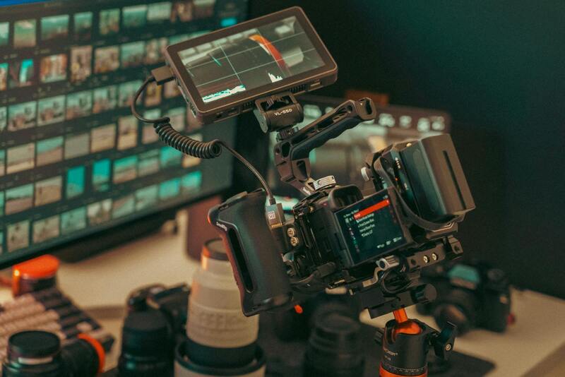
Selecting appropriate drone equipment is crucial for capturing high-quality images of residential properties. The key factors to consider include camera resolution, flight stability, and obstacle avoidance features. High-resolution cameras, ideally with 4K or higher capabilities, deliver crisp, clear images that highlight architectural details and landscape features. This is essential for creating compelling visuals that attract potential buyers and provide an accurate representation of the property.
Flight stability is equally important, especially when capturing images in varying weather conditions or complex environments. Modern drones equipped with advanced gimbal stabilization systems maintain smooth footage and reduce motion blur, resulting in professional-grade imagery. Additionally, obstacle detection sensors improve safety and maneuverability during flights, allowing for precise shots even in tight or challenging spaces.
Battery life is another significant consideration. Longer flight times enable covering larger properties or capturing multiple angles without frequent recharges, ensuring comprehensive coverage within a single shoot session. Economical options with interchangeable batteries can streamline the process and maximize efficiency.
Furthermore, integrated GPS systems facilitate precise positioning, enabling features like automatic flight paths and waypoint navigation. This consistency is essential for capturing multiple shots from designated angles and heights, allowing for seamless integration into marketing materials.

When selecting a drone for house photography, it is advisable to opt for models that align with specific project requirements and professional standards. Investing in reputable brands known for durability and advanced features can significantly enhance image quality and operational reliability. Delegating the technical setup to experienced operators or working with specialized agencies can further optimize the results of aerial property photography. By carefully choosing the right equipment, real estate professionals and property owners can ensure that their aerial images meet high standards, effectively showcasing properties in a competitive market.
Legal and Regulatory Considerations in Miami
In Miami, capturing drone pictures of houses involves adhering to specific guidelines that ensure safety and compliance during aerial operations. It is essential to secure the necessary permissions and understand the operational limits established by local authorities to avoid disruptions or penalties. Operating within designated airspace parameters and respecting privacy boundaries are crucial for maintaining professionalism and avoiding conflicts with residents or neighboring properties. Moreover, maintaining proper documentation of flight plans and certifications can streamline the process and foster trust with clients and stakeholders.
Particularly in a vibrant city like Miami, where real estate development is prolific, coordinating drone activities with local aviation authorities helps in identifying no-fly zones and restricted areas. Urban environments with dense infrastructure require meticulous planning to prevent interference with other aircraft or sensitive locations such as airports and government facilities.
Operators should stay informed about specific city ordinances and federal guidelines that influence drone flights, including altitude restrictions, line-of-sight operation, and restrictions during certain times of day. Employing certified pilots who are trained in local regulations can enhance operational safety and ensure that every aerial shoot is conducted ethically and legally.
Additionally, thorough risk assessments prior to each flight help in identifying potential hazards such as crowded areas or severe weather conditions, minimizing the likelihood of accidents. By integrating these practices into their workflow, professionals can deliver high-quality drone images that respect all legal considerations.
Official and Trusted Methods for Capturing Drone Pictures of Houses in Miami
When seeking to acquire high-quality drone pictures of houses in Miami, it’s essential to utilize official and verified methods that adhere to the appropriate channels. These methods ensure that the footage collected is not only professional but also complies with the current standards and guidelines set forth by relevant authorities, fostering a smooth and effective workflow.
One of the most reliable approaches involves working with licensed drone operators who possess valid certifications recognized by the Federal Aviation Administration (FAA) and local Miami authorities. Certified pilots are trained to operate drones safely and responsibly, understanding the nuances of aerial imaging and the specific requirements for residential photography. Engaging with such professionals reduces the risk of operational issues and enhances the overall quality of the footage.
Another safe and effective method is to utilize established drone service providers who specialize in real estate photography and have a proven track record in Miami. These companies typically comply with all local regulations, maintain up-to-date permits, and conduct thorough pre-flight planning. This includes detailed assessments of the property, surrounding environment, and flight paths to minimize disturbances and optimize image quality.
Leveraging the latest drone technology can significantly enhance the yield of drone photography. High-resolution cameras, gimbal stabilization systems, and intelligent flight modes enable operators to capture sharp, striking images from various angles. Employing equipment with GPS and obstacle avoidance capabilities contributes to safe and precise navigation, especially in complex residential environments.
It’s also crucial to plan the flight in accordance with the specific zoning and operational guidelines of Miami. This involves coordinating with local authorities to identify restricted zones and ensuring that drone operations do not interfere with manned aircraft or sensitive zones such as airports, government buildings, or densely populated neighborhoods.
Maintaining comprehensive documentation that includes flight logs, certifications, and permission records can further streamline the process. These documents act as proof of compliance and facilitate transparent communication with clients and regulatory bodies.
In addition, employing technology-aware strategies like drone flight planning software allows operators to map ideal flight paths and altitudes in real-time. This technical preparation leads to superior image capture and reduces potential overlaps or missed shots.
By adopting these official and validated methods, professionals in the Miami area can deliver high-quality, compelling images of residential properties that stand out in the competitive real estate market, all while maintaining adherence to the necessary operational standards.
Choosing the Right Drone Equipment for House Photography
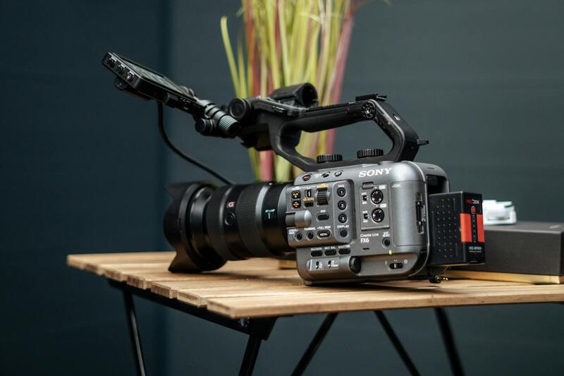
Selecting appropriate drone technology is fundamental for capturing high-quality images of residential properties. The core features to evaluate include camera resolution, stabilization systems, flight autonomy, and obstacle avoidance capabilities. Modern drones equipped with 4K or higher resolution cameras ensure sharp, detailed images that appeal to prospective buyers and clients. Gimbal stabilization helps produce smooth footage, eliminating jitters or blurs caused by wind or sudden movements.
Flight autonomy, or battery life, is also crucial for covering extensive properties or multiple angles without interruption. Longer flight times reduce the need for frequent battery swaps, maintaining efficiency during photo sessions. Incorporating GPS and automated flight modes facilitates precise positioning and repeatable shots, ensuring consistent image quality across sessions.
Investing in a drone with obstacle detection sensors enhances safety and allows for more complex flight paths around trees, rooftops, or neighboring structures. This capability minimizes risks of collisions, especially in tight residential environments. Additionally, choosing drones with active return-to-home features ensures recovery from unexpected signal loss or low battery, safeguarding equipment and images.
Operators should confirm compatibility with professional image editing software and consider models that support high dynamic range (HDR) imaging. HDR functionality captures multiple exposures simultaneously, combining them to produce well-exposed photos in challenging lighting conditions often encountered in residential landscapes.
By aligning drone capabilities with project requirements, photographers can consistently deliver compelling visuals that accurately reflect the property's appeal. Such precision not only enhances marketing efforts but also builds trust with clients seeking reliable, high-quality aerial imagery of their homes.
Legal and Regulatory Considerations in Miami
When capturing drone pictures of houses in Miami, awareness of local regulations is essential to ensure smooth operation and to respect privacy rights. Miami’s municipal codes stipulate specific flight restrictions and safety protocols that drone operators must adhere to, especially in residential neighborhoods. These include altitude limits, designated no-fly zones, and restrictions on night flying. Operators should familiarize themselves with the Miami-Dade County rules as well as federal guidelines issued by the FAA to ensure compliance.
Permitting processes are often required for commercial drone activities, including real estate photography. Securing the appropriate permits involves submitting detailed flight plans and demonstrating adherence to safety standards. It is advisable to work with a licensed drone pilot who understands the intricacies of Miami’s airspace to prevent inadvertent violations.
Furthermore, respecting the privacy of residents is considered best practice when conducting aerial photography in suburban areas. Maintaining a respectful distance and avoiding capturing sensitive areas, such as private yards or neighboring properties, helps foster positive community relations. Using automated flight paths and geofencing technology can also help ensure that drone operations stay within designated boundaries, providing clarity and safety during each session.
Choosing the Right Drone Equipment for House Photography
Selecting appropriate drone equipment is fundamental to capturing high-quality aerial images of residential properties. Drones equipped with high-resolution cameras, typically 20 megapixels or higher, enable detailed and vibrant visuals that can effectively showcase a home's features. Additionally, features such as gimbal stabilization are vital to producing sharp, shake-free images even in windy conditions or during complex maneuvers.
Longer flight times, often exceeding 20-30 minutes per single battery charge, are advantageous for comprehensive shoots, especially when covering larger properties or multiple angles. Advanced drones come with obstacle avoidance sensors, which significantly increase safety and allow for intricate flight paths around rooftops, trees, or neighboring structures.
Functionalities like GPS waypoint navigation and automated flight modes afford precise, repeatable shot setups—crucial for consistent imagery in marketing material. Some models additionally support HDR imaging, which combines exposures to produce images with balanced lighting, capturing both the shadows and highlights effectively.
Best Practices for Aerial Photography of Houses
Achieving compelling drone pictures of houses involves a combination of technical expertise and thoughtful planning. Start by scouting the property beforehand to identify optimal angles, lighting conditions, and important architectural features. Early morning or late afternoon offers softer, warm light that enhances the property's curb appeal.
Maintaining a steady altitude that provides a comprehensive view without compromising safety or privacy is crucial. Typically, capturing shots from various heights and angles—including front, rear, and side views—offers potential buyers a holistic understanding of the property. Employing automated flight paths ensures consistency across multiple sessions, streamlining the process for multiple listings.
Pay attention to environmental factors such as wind, weather, and nearby obstructions. Gentle gusts can affect drone stability, while overhanging branches or neighboring structures may require creative maneuvering or slight altitude adjustments. Utilizing high dynamic range (HDR) modes helps mitigate challenging lighting conditions, revealing the home's details and surroundings.
Post-session, review your footage meticulously to select the best images that highlight the property's unique attributes. Combining different perspectives into marketing materials enhances visual storytelling, attracting potential buyers with compelling and professional visuals.
Best Practices for Aerial Photography of Houses
To achieve exceptional drone pictures of houses, it is essential to adhere to specific best practices that ensure both safety and visual quality. Prior to the shoot, conduct a detailed site survey to identify potential obstacles, lighting conditions, and optimal angles. Planning your flight path in advance minimizes unnecessary maneuvering, saving time and reducing the chance of equipment mishaps.
Utilize high-quality drone models equipped with stabilized gimbals to ensure sharp, blur-free images even in windy conditions. Adjust camera settings based on ambient light to avoid overexposure or underexposure, using manual control when necessary. Capturing images during different times of day, especially during golden hours—shortly after sunrise or before sunset—can dramatically enhance colors and add warmth to the visuals.
It is advisable to incorporate various shot compositions, including straight-down, oblique, and panoramic views, to provide a comprehensive visual narrative of the property. Consistent altitude measurements and framing help maintain a cohesive look across the collection of photos. Employing automated flight modes and pre-programmed waypoints ensures repeatability, which is especially beneficial for multiple property listings.
Practicing proper drone handling techniques, such as gradual ascents and controlled descents, reduces motion blur and unintended jerks in images. Also, be mindful of environmental factors—strong winds, passing vehicles, or nearby power lines—and plan flights accordingly.
Maintaining a steady altitude that provides a comprehensive view without compromising safety or privacy is crucial. Typically, capturing shots from various heights and angles—including front, rear, and side views—offers potential buyers a holistic understanding of the property. Employing automated flight paths ensures consistency across multiple sessions, streamlining the process for multiple listings.
Pay attention to environmental factors such as wind, weather, and nearby obstructions. Gentle gusts can affect drone stability, while overhanging branches or neighboring structures may require creative maneuvering or slight altitude adjustments. Utilizing high dynamic range (HDR) modes helps mitigate challenging lighting conditions, revealing the home's details and surroundings.
Post-session, review your footage meticulously to select the best images that highlight the property's unique attributes. Combining different perspectives into marketing materials enhances visual storytelling, attracting potential buyers with compelling and professional visuals.
Future Trends in Drone House Photography
As technology advances, the landscape of drone photography for residential properties continues to evolve, offering new opportunities for real estate professionals and homeowners alike. Innovations in drone hardware and software are pushing the boundaries of image quality, flight automation, and data integration, which in turn enhances the capability to showcase homes more effectively.
One of the most significant developments is the integration of high-resolution camera systems with sensor fusion technology. These enhancements enable capturing ultra-detailed images that retain clarity even when zoomed in, allowing potential buyers to scrutinize key features of a property with unprecedented precision. Additionally, improvements in image stabilization and gimbal technology contribute to smoother, more professional footage, reducing the need for extensive post-production correction.
Automation and AI are transforming how drones operate during property shoots. Automated flight planning tools enable pre-programmed routes and specific angles, ensuring consistent coverage across multiple properties while minimizing human input. AI-powered image processing algorithms can automatically adjust lighting, remove distortions, and enhance clarity, significantly reducing editing time and improving overall visual appeal.
Another promising trend is the incorporation of augmented reality (AR) and virtual reality (VR) integration. High-quality drone footage combined with AR/VR platforms enables immersive virtual tours, allowing potential buyers to explore homes remotely with a realistic sense of space and layout. This technology is especially valuable for remote or international markets where physical visits might be limited or impractical.
Furthermore, the adoption of 5G connectivity facilitates real-time data transmission, allowing for immediate review and delivery of drone images. This reduces turnaround times and supports faster decision-making processes in fast-paced real estate markets.
With the increasing use of sophisticated spatial imaging techniques like 3D mapping and photogrammetry, drone visuals can now provide detailed topographical and layout insights. These capabilities are invaluable for higher-end properties or estates with complex landscapes, adding an extra layer of detail to marketing materials that appeal to discerning clients seeking comprehensive visual information.
As the industry embraces these technological advances, the key to leveraging future drone photography trends lies in continuous training and staying up-to-date with emerging tools. Professionals who adapt quickly will produce more compelling, accurate, and immersive property visuals, setting new standards in real estate marketing.