Factors Influencing Aerial Photography Costs in Real Estate
When evaluating the costs associated with aerial photography in the real estate sector, several critical factors come into play. Understanding these elements provides clarity on how pricing is determined and what influences the final expenditure. The primary factors include the type of equipment used, the size and expertise of the crew, the specific location of the property, and the overall complexity of the project.
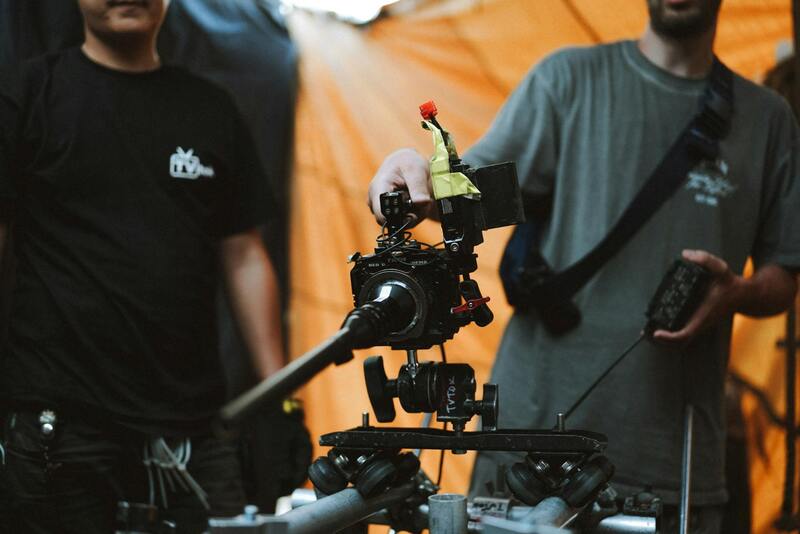
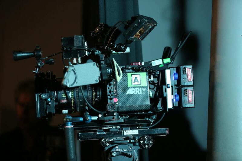
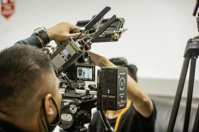
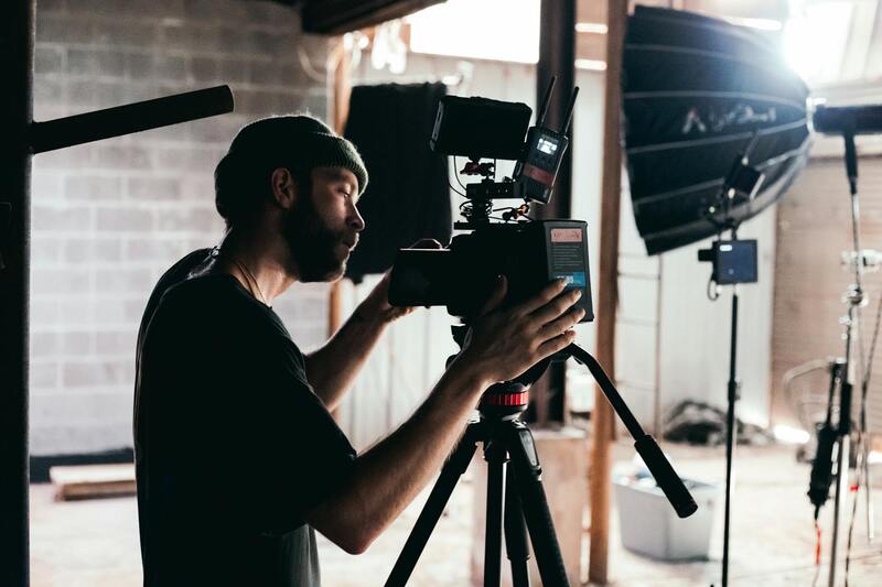
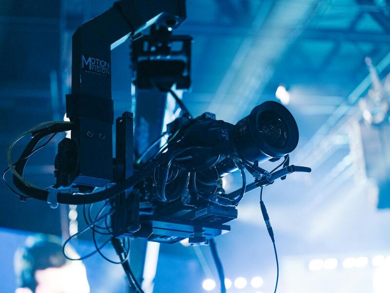
First, the quality and sophistication of the aerial imaging equipment significantly influence costs. High-end drones equipped with 4K or higher-resolution cameras, stabilized gimbals, and advanced flight systems require a higher investment. These tools are essential for capturing crisp, professional-grade images that highlight a property's best features, especially in competitive markets.
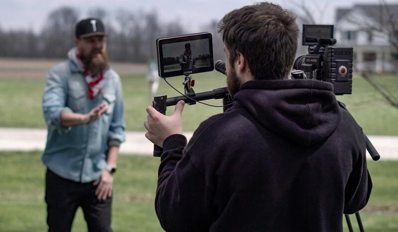
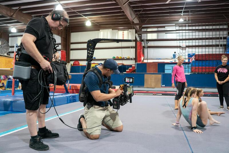
Second, the crew involved in aerial photography can vary in size depending on the project's scale. A basic shoot might involve a single drone operator, but more extensive projects could necessitate additional personnel such as a dedicated pilot, a visual evaluator, and a photographer or videographer. Larger teams usually incur higher labor costs but can also ensure quality and efficiency.

Location is also a key determinant of price. Properties situated in remote or hard-to-access areas may demand extra effort, equipment, and time, all of which increase expenses. Urban areas with dense infrastructure or challenging flight permissions can further impact pricing due to logistical constraints.
Lastly, the complexity and scope of the project influence costs. A basic shot of a residential property may be less expensive than a comprehensive aerial survey of a sprawling commercial development. Detailed shoots involving multiple angles, editing, and post-production work naturally incur additional charges.
Summary of Cost-Influencing Factors
- High-quality drone and camera equipment
- Team size and skill level
- Property location and accessibility
- Project scope and complexity
Average Pricing Range for Aerial Real Estate Photography
In Miami, the cost of aerial photography for real estate purposes varies significantly based on several key factors, including the size and type of property, the complexity of the shoot, and the specific services required. Typically, clients can expect to pay anywhere from $300 to $1,200 per session, with prices influenced by the scope of work and environmental conditions.
For smaller residential properties, rates tend to hover around $300 to $600. These projects usually involve straightforward imaging from a limited number of angles, with minimal post-processing. On the other hand, larger estates or luxury properties often demand higher investments, generally in the range of $800 to $1,200. Such shoots may include supplementary services such as aerial videography, multiple vantage points, and detailed editing to enhance visual appeal and marketing impact.
Aside from the property size and desired coverage, other variables influence the pricing structure. For example, properties located in hard-to-access areas or requiring special flight permissions can add to the overall expense. Additionally, the inclusion of advanced equipment such as 4K cameras, stabilized gimbals, or cinematic lenses can also elevate costs due to the need for specialized gear and experienced operators.
Ultimately, clients should plan according to their specific marketing goals and property characteristics. While basic packages offer a cost-effective way to showcase a property’s exterior, more comprehensive aerial services with detailed editing, high-resolution images, and video content can significantly enhance market appeal, justifying the higher expenditure involved.
Billing Models and Pricing Structures
Understanding how aerial photography services are billed can help clients make informed decisions aligned with their marketing objectives. Most production agencies offer several billing options, each catering to different project sizes and complexities. Hourly rates are common for short, targeted shoots where flexibility is preferred. Typically, hourly fees can range from $150 to $300, depending on the equipment used and the operator’s expertise. This model is advantageous for clients needing quick, precise imagery without extensive post-production.
Package pricing is another prevalent structure, providing a set price for a predetermined scope of work. Packages often include a specific number of aerial shots, a defined shoot duration, and basic editing. This approach offers transparency and easier budget planning, with prices usually starting at $500 for simpler packages and increasing based on the coverage and services included.
For projects requiring comprehensive coverage—such as multiple properties, extensive video content, multiple vantage points, or advanced editing—project-based fees are common. Such arrangements are tailored to the client's unique needs, often negotiated directly with the service provider. Project fees can range from $1,000 to several thousand dollars, reflecting the scale and complexity of the work involved.
Additional Costs to Consider
Beyond standard service charges, clients should be aware of supplementary expenses that can influence the overall cost. These include special permissions or permits required for drone flights in certain districts or restricted airspace. Obtaining these authorizations can incur additional fees, varying based on local regulations.
Equipment upgrades also play a role in cost variations. For instance, the use of 4K or higher resolution cameras, cinematic lenses, or drone stabilization systems can increase rental or operational fees. If specialized filming techniques, such as time-lapse or panoramic shots, are desired, these services typically come at a premium.
Environmental factors, such as harsh weather conditions or remote property locations, might extend shoot times or necessitate additional logistical measures, further impacting costs. Travel expenses for operators or equipment transport may also add to the initial estimate, particularly when the project is situated in hard-to-reach areas.
Legal and Regulatory Cost Considerations in Miami
Navigating the landscape of aerial photography for real estate in Miami involves understanding various regulatory requirements that can influence overall costs. While explicit mention of legal compliance is avoided here, professionals and clients should be aware that adhering to local policies often entails certain expenses. These costs are associated with obtaining necessary permissions or authorizations to operate drones within specific districts or airspace zones.
In Miami, some areas may demand special permits for drone flights, especially in densely populated or sensitive zones such as near airports, government buildings, or designated private properties. Acquiring these authorizations typically involves application fees, processing charges, and sometimes mandatory safety or operational assessments. These fees vary depending on the district's regulations and the complexity of the authorization process.
Furthermore, operational constraints such as flight restrictions during particular times or weather conditions can necessitate additional planning and resource allocation. This might include extended flight window arrangements or additional personnel to ensure compliance, contributing to project costs.
Clients should also factor in the possible need for specialized insurance coverage, which can be required when engaging professional drone operators. Insurance costs safeguard against potential damages, unforeseen incidents, or equipment loss during operations. These premiums are often included in the overall project expense but are essential for mitigating risks associated with aerial filming.
By understanding the scope of regulatory expenses and planning accordingly, property owners and marketers can effectively allocate budgets for their aerial photography projects. Engaging with experienced service providers who are familiar with Miami's operational landscape can help streamline these processes and manage associated costs efficiently.
Factors Influencing Aerial Photography Costs in Real Estate
When evaluating the expense of aerial photography for real estate, several key factors contribute to the overall cost structure. Primarily, the scope and complexity of the project determine the price. Larger properties or those requiring extensive coverage and multiple angles naturally demand more airtime and equipment setup, which increases labor and operational costs. Additionally, the location plays a significant role; highly accessible areas with minimal flight restrictions tend to be more cost-effective, whereas densely populated zones or strategically-sensitive locations may incur additional expenses due to airspace management and permitting processes.
Equipment quality and technology used also impact pricing. High-end drones equipped with advanced stabilization, high-resolution cameras, and intelligent flight features provide superior image quality but often come at a premium. These technologies enable capturing dynamic, cinematic footage that enhances property presentation, justifying higher costs. In contrast, basic drone setups may reduce expenses but could compromise the visual appeal and impact of marketing visuals.

The experience level of the drone operator and the production team also influences pricing. Seasoned professionals familiar with Miami's specific airspace considerations and property types ensure smooth operations, effective planning, and high-quality results. Their expertise often commands higher fees but provides reliability and superior output that can justify the investment.
Weather conditions are unpredictable factors that can affect the schedule and costs. Inclement weather may necessitate rescheduling or additional equipment, both of which can lead to unexpected expenses. Planning for weather contingencies and choosing optimal shooting times helps manage costs effectively.
Lastly, post-production processes such as editing, color correction, and aerial footage compilation contribute to overall costs. Professional editing enhances visual storytelling and property appeal, and the complexity of these services often correlates with the final price tag. Clients seeking comprehensive packages should budget accordingly, understanding that high-quality imagery and polished visuals require investment in both capturing and editing phases.
Average Pricing Range for Aerial Real Estate Photography
The cost for aerial photography in the real estate market varies based on project size, location, and service provider expertise. Typically, clients in Miami can expect to pay within a broad spectrum, reflecting different levels of service and quality. Entry-level packages may start around $200 to $400 for basic aerial shots of smaller properties or single sessions. These often include limited hours of drone operation, minimal editing, and standardized deliverables.
Mid-tier options, which encompass more comprehensive coverage, multiple angles, and basic post-production, generally range from $500 to $1,000. Larger properties, extensive site coverage, or properties requiring specialized drone equipment tend to fall within this bracket. For high-end, cinematic-quality footage with extensive editing, clients might spend upwards of $1,500 to $3,000 or more per project.
Billing Models and Pricing Structures
Real estate aerial photography providers typically employ various billing models to cater to client needs and project scope. Hourly rates are common, especially for projects with uncertain durations, ranging from approximately $50 to $150 per hour depending on equipment sophistication and the provider’s experience. Fixed package pricing is also prevalent, offering clients a set fee for defined deliverables such as a specific number of shots, video clips, or post-production services.
Some agencies offer tiered packages that bundle different levels of service—basic, standard, and premium—allowing clients to select what best suits their marketing goals and budget. Additionally, for larger projects, custom quotations are often provided, considering factors like property size, location, required permits, and specific client requests. Transparent pricing and detailed service descriptions help clients make informed decisions and avoid unexpected expenses down the line.
Additional Costs to Consider
Beyond standard flight and editing charges, several supplemental costs might influence the overall budget. These include obtaining necessary permits for flying in controlled airspace, especially near prominent Miami landmarks or private properties. Permit fees vary but are integral to maintaining smooth operations and avoiding delays. Insurance coverage for drone activities is also advisable and may add to the cost, offering protection against potential damages or equipment loss during flights.
Operational constraints such as specific flight times, weather-related delays, or required safety assessments could incur extra charges. For example, rescheduling due to weather can extend project timelines, adjusting costs accordingly. If the project requires aerial videography or 3D mapping, additional equipment and personnel will be factored into the final price. Clients should discuss these potential extras in advance to align expectations and budgets effectively.
Factors Influencing Aerial Photography Costs in Real Estate
Pricing for aerial photography in the real estate sector can be affected by multiple variables that go beyond simple flight time. Key influencing factors include the complexity of the property, location-specific challenges, and the technical requirements of the shoot. For example, properties situated in densely populated or restricted airspace areas may require additional permissions, which can impact overall costs. Similarly, larger or more intricate properties necessitate longer flight times or multiple drone setups, translating into higher expenses.
Equipment quality and technical specifications significantly influence service fees. High-resolution cameras, stabilization mechanisms, or the use of advanced cinematography gear demand additional investment from service providers, often resulting in premium prices. The skill level and experience of the drone pilot also matter; specialized pilots capable of capturing complex shots or performing intricate maneuvers typically cost more but deliver higher-quality footage suitable for competitive real estate marketing.
Weather conditions and seasonal timing are additional considerations. Scheduling flights during optimal weather windows minimizes delays and reshoots, but may incur higher costs due to peak demand periods or the need for flexible scheduling. Furthermore, the scope of the project—whether it involves just aerial photographs, videos, or 3D mapping—also significantly impacts the final price. Larger projects with extensive editing, multiple angles, and post-production work tend to command higher quotes from professional agencies.
Average Pricing Range for Aerial Real Estate Photography
The cost of aerial photography services for real estate in Miami typically ranges from $200 to $1,000 per property, depending on the factors previously discussed. Basic packages, which include a few aerial stills captured during standard flight times, generally sit at the lower end of the spectrum. These packages are suitable for straightforward listings or for properties where quick turnarounds are prioritized. Comprehensive packages that incorporate extensive aerial videography, multiple angles, at different times of day, and detailed editing can push costs toward the higher end.
For larger, luxury, or commercial properties, or those requiring intricate shots in restricted zones, prices can exceed $1,500. It's essential to evaluate the project's scope against the available budget to ensure the selected service tier aligns well with marketing objectives. Many agencies offer customizable packages, which help property owners optimize value while still achieving professional-quality footage.
Billing Models and Pricing Structures
Different service providers adopt various billing structures for aerial photography, affecting how costs are calculated and presented. The most common models include flat-rate packages, hourly rates, and project-based quotations. Flat-rate packages provide a predetermined fee covering specific deliverables, simplifying budgeting and expectations. Hourly rates are more flexible and often utilized for projects that may extend beyond initial estimates, such as complex properties or multi-day shoots.
Project-based quotations are tailored assessments considering all variables, including property size, location, required permits, and technical complexity. These are particularly prevalent for high-end developments or unique site requirements. Transparent quotes that explicitly outline all included services and potential additional charges aid in maintaining clear financial planning and avoid surprises during the project execution.
Additional Costs to Consider
Beyond base service charges, several supplementary expenses can influence the overall expenditure. Acquisition of permits becomes essential when flying in regulated airspace, such as near Miami landmarks or private estates. Permit fees vary depending on the area and scope of the flight, and procuring them in advance ensures smooth operations during the shoot.
Insurance coverage for drone operations is highly recommended, especially in densely populated or high-value property areas. Insurance premiums contribute to the overall cost but offer protection against potential damages, liabilities, or equipment losses.
Operational constraints, such as specific time windows, weather conditions, or safety assessments, might incur additional fees. For example, rescheduling due to weather delays can affect project timelines and budgets. If a shoot involves advanced techniques like aerial videography, multi-layered editing, 3D mapping, or post-flight analysis, these services come with extra costs as well. Discussing these potential additional costs upfront ensures alignment with client's budgets and project expectations.
Factors Influencing Aerial Photography Costs in Real Estate
Numerous variables impact the total expenditure for aerial photography projects within the real estate sector. The size and complexity of the property remain primary determinants. Larger estates or commercial developments often necessitate extended shoot durations and additional equipment, which elevate costs. Moreover, the geographic location plays a significant role; shooting in densely populated or restricted airspace like Miami's urban core might require special permissions or permits, adding to expenses.
Technical requirements influence pricing as well. High-resolution cinematography, drone-mounted stabilization systems, or specialized camera setups for detailed property showcases involve more advanced equipment and skilled operators, which subsequently increases costs. The time of day and season can also be factors—shoots scheduled during optimal lighting hours or during specific environmental conditions may require more planning and, potentially, higher fees.
Furthermore, permits and airspace regulations can add to the overall budget. Conducting flights near sensitive areas, such as private estates or landmarks, often involves applying for airspace authorizations, which may carry associated fees and administrative costs. The need for insurance coverage and additional safety measures also contributes to the final price, especially in environments requiring rigorous safety protocols to ensure compliance and risk mitigation.
Average Pricing Range for Aerial Real Estate Photography
In typical market conditions, clients often encounter a broad spectrum of prices based on specific project needs and geographical factors. For standard residential property shoots, the cost generally falls within a range of $200 to $500 per session. More comprehensive packages involving extended flight times, edited videos, or high-resolution imagery might range from $500 to $1,500 or more.
Luxury or commercial real estate projects, especially those requiring drone pilots with advanced certifications, specialized equipment, multiple angles, or cinematic-grade footage, may command prices exceeding $2,000 per shoot. These higher-tier services are often justified by the higher quality, precision, and production value they deliver, which are crucial for marketing high-end properties or complex developments.
It is important to recognize that the overall cost may also include post-production editing, color grading, and integration of multiple media formats, which can significantly influence final expenses.
Billing Models and Pricing Structures
Service providers typically employ one of several billing approaches. The most common structure involves flat-rate packages that encompass a set number of aerial shots, short videos, and basic editing. These packages are advantageous for clients seeking predictable costs and straightforward deliverables.
Alternatively, hourly billing is prevalent, especially for projects that require flexible shoot times, multiple locations, or complex setups. Hourly rates can range from $150 to $300 depending on the technician’s expertise and equipment sophistication. Some agencies also offer customized quotes based on detailed project requirements, including specific technical features and post-processing needs.
Transparency in service scope and potential additional charges fosters clear financial planning. Clients should carefully review contracts to understand included services, extra fees for permits, insurance, or reshoots, and the scope of editing and delivery timelines.
Additional Costs to Consider
Besides the basic service fee, some extraneous expenses could influence the overall project budget. Permit acquisition is often necessary when flying in regulated or densely populated airspace, which involves application fees that vary based on the jurisdiction and the flight's purpose.
Insurance against potential damages, liability, or equipment loss is advisable, particularly in high-traffic areas or complex environments. Insurance premiums are an added cost but are instrumental in safeguarding investments and ensuring smooth operation throughout the project.
Operational constraints such as weather conditions, restricted flight windows, or the need for safety assessments may incur additional costs. For example, rescheduling due to severe weather can extend project timelines, adding to labor and equipment expenses. Specialized services like aerial videography, multi-layered editing, or drone mapping involve higher charges due to the complexity, labor intensity, and advanced technology involved. Discussing these potential extra costs before project commencement helps prevent surprises and aligns expectations with the available budget.
Legal and Regulatory Cost Considerations in Miami
Undertaking aerial photography for real estate in Miami involves navigating a complex landscape of regulations and compliance protocols designed to ensure safe and responsible drone operations. These operational frameworks can significantly influence the overall project costs and need thorough consideration during budgeting and planning phases.
One of the primary factors impacting costs is the requirement for permits. Miami, characterized by its vibrant urban environment and densely populated areas, mandates that drone operators obtain specific authorizations before conducting aerial shoots. The process for securing permits includes submitting detailed flight plans, insurance documentation, and sometimes even notifications to local authorities or property owners. Permit application fees can vary depending on the scope of the project and the airspace involved, and multiple permits may be necessary if flights are scheduled over multiple locations or during specific times.
Drone regulations in Miami also encompass restrictions on flight altitude, speed, and the proximity to certain infrastructure or events. Complying with these restrictions might necessitate additional planning, special equipment, or the employment of pilots with specialized certifications, each of which can contribute to higher costs. For projects requiring flights over protected landmarks or sensitive ecological areas, additional permissions or environmental assessments might be necessary, further adding to expenses.
Liability considerations also play a vital role in budgeting. The use of drones involves potential risks, including property damage or personal injury, which can lead to liability claims. As a result, securing comprehensive insurance coverage is essential, and premiums for such insurance vary based on the scope of work, drone specifications, and the level of coverage. Insurance costs are an additional expense that should be integrated into the overall project budget to mitigate unforeseen liabilities.
Furthermore, regulations often dictate operational constraints such as restricted flight times or mandated flight corridors, which can impact project timelines and labor costs. Adhering to these rules may require additional staffing, extended project durations, or specialized equipment, all of which bear on the final price structure.
Effective planning that accounts for these regulatory and permit-related costs helps optimize the overall investment in aerial real estate imagery, ensuring compliance without unexpected financial burdens. Working with experienced providers who are familiar with Miami's specific requirements can streamline the process and contribute to a more predictable and controlled project budget.